Matthew Alford

Updating the Revelle’s novel velocity measuring system

IMG_0578.jpeg

The MOD group has long specialized in Doppler sonar techniques, pioneered over 30 years ago by Rob Pinkel and Jerry Smith.  For about 20 years, Scripps’ flagship the R/V Roger Revelle has carried a one-of-a-kind such system, the Hydrographic Doppler Sonar System (HDSS).  Unlike conventional Acoustic Doppler Current Profilers carried on most ships, the HDSS has much higher power and much narrower beams, allowing greater precision, finer resolution in the vertical and greater range.  While the Revelle is in dry dock for her midlife refit, our group is taking the opportunity to remove the HDSS from her hull, modernize it and reinstall it.

Many long hours have been spent underneath the Revelle.

Many long hours have been spent underneath the Revelle.

It is a massive job and we have now successfully removed the old system, which requires hard work and long hours beneath the enormous ship.  Creating the new system, which will have still higher power and will eventually allow better removal of the ship’s rolling and tilting from the measured signals, has involved long hours by the Marine Physical Laboratory machine shop and painstaking work repotting the transducers and cabling them. The final installation will take place in August.

Wish us luck!

IMG_6662.jpg

Hydrographic Doppler Sonar System (HDSS) upgrade

The Hydrographic Doppler Sonar System (HDSS), is now 20 years old and is getting upgraded when R/V Revelle undergoes her midlife refit this summer and fall.  HDSS is a state-of-the-art system for measuring ocean currents.  We are substantially upgrading and improving the old system, with enhancements including greater power and real-time beam forming that corrects for the roll and pitch of the ship, improving precision by keeping the beams much more constant orientation.

Engineers Sara Goheen and Mike Goldin and Professor Rob Pinkel ultrasonically clean a cable from the old system in preparation for the installation this summer and fall.

Engineers Sara Goheen and Mike Goldin and Professor Rob Pinkel ultrasonically clean a cable from the old system in preparation for the installation this summer and fall.

Arctic Aloha

We've spent the last few days in Nome, Alaska, loading the R/V Sikuliaq and preparing to set sail. We have been gifted with unusually warm sunny weather, and are celebrating with Aloha Friday.  We set sail tomorrow morning for points further north, wish us luck!

Photo: Members of the MOD group Jen MacKinnon, Giulio Meille, honorary member Ben Barton (Bangor U.), Effie Fine, Jonny Ladner, Sara Goheen, Nicole Couto, San Nguyen, and Mike Goldin. 

NSP_IMG_9432.jpg

Ready.....set....

8 members of the MOD group are gearing up to head to Nome, Alaska next week,  with a dozen colleagues from other universities, to embark on a month-long expedition to study the Arctic Ocean.  The project is an Office of Naval Research funded experiment entitled the "Stratified Ocean Dynamics of the Arctic (SODA)". One of the main goals is to understand what processes set the amount and distribution of heat in the Arctic ocean, and how that accumulated ocean heat might or might not be responsible for the observed accelerating rate of Arctic sea ice loss.  We'll add a series of posts once we get underway with more details of the science, instruments, people, and maybe even a polar bear sighting!  Bu to start us off, here's an image from the the National Snow and Ice Data Center (http://nsidc.org/arcticseaicenews/).  It's a map of the Arctic Ocean as would be seen from above (satellite).  The white area is where there is currently sea ice as of today, August 24th.  The orange line is where the sea ice extent used to be, on average.  There's a lot less now, which has significant implications for not only the Arctic ecosystem and the human population surrounding it, but the global climate as well.  We are hoping that some of the secrets we uncover will help us not only understand what's happening now, but more accurately predict how this will play out as the earth continues to warm.  Stay tuned!  

sea_ice_24_aug.png

The Epsilometer and the biological hotspots ...

In April 2018, a team of Scripps graduate students designed a 3 days experiment on the R/V Sproul in order to explore a biological hotspot south of San Clemente Island, only a few miles west of San Diego. This area is known to support large populations of demersal and pelagic fish, such as rockfish and tuna. While both the scientific and local fisheries communities are well aware of such biological productivity, little is known about the physical mechanisms that aid the high productivity at this site. The students proposed to investigate the flow in order to test several hypotheses and determine the physical mechanism that drives the elevated biological productivity.

In addition to the Del Mar mooring recovery and deployment of a WireWalker, the students tested new sensors developed by Scripps physical oceanographers Matthew Alford and Arnaud Le Boyer. Dubbed the epsilometer or “epsi,” the device uses advances in electronics borrowed from the cell phone industry to measure water turbulence (epsilon) in a low-cost, low-power manner. 🎥: Isabela Le Bras

Iceland cruise: survived

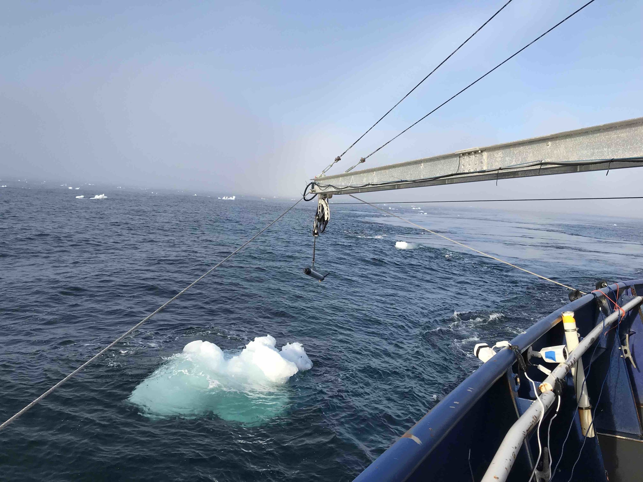
Team MOD successfully deployed two wire walkers, the fast CTD and two epsi-fish microstructure profilers in challenging conditions (up to 50 knot winds and 8-m seas) on R/V Armstrong.

We learned much about the generation of internal waves and the modulation of mixed-layer turbulence by the wind - and the effects of the wind on the ship and its scientists!

IMG_1934.JPG

MOD PIs chair first-ever Gordon conference on Ocean Mixing

Last week, the very first Gordon conference on ocean mixing took place in Andover, NH.  167 participants from all over the world learned about the state of the art of our field and its impact on other fields.  It was enlightening, inspiring and a lot of fun!

grc_photo_2018_ocean-mixing.jpg

Gearing up for the Plumes experiment (PLUMEX)

Last February, we branched out pretty substantially from our usual bailiwick of internal waves and mixing, and grabbed some huge pumps and tanks in order to create artificial salty plumes of water that we then sampled with an ROV to watch them descend.  Why on earth would we do this?  Possible future deep sea mining operations will need to return the "tailings" they bring up from the sea floor, so it is crucial to know how they will descend and disperse.

In November we'll be continuing this on a cruise funded by the UC ship funds program.  First we'll create plumes with massive tanks of salt water and pumps.  We'll then use an ROV, an AUV, our Phased Array Doppler sonar, and side-scan sonars to image the plumes as they descend. Finally, we'll use our towed bodies to track them as the ambient currents sweep them laterally.

The ultimate goal is to inform future policy on responsible practices.